
Heavy rain causes severe flooding in Broward and keeps South Florida on alert
Plantation received more than 15 inches in 24 hours and Miami-Dade approached nine; additional storms could worsen flooding through Thursday.
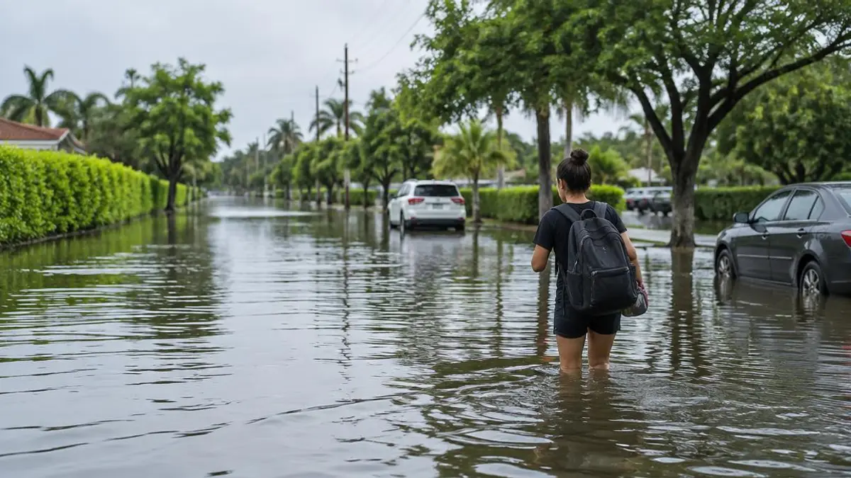
Torrential rain has caused flooding across parts of South Florida, leaving streets submerged, roads impassable and reports of water entering homes. Broward has recorded the highest totals, while Miami-Dade also received intense rainfall. The National Weather Service has kept a flood watch in effect for Miami-Dade, Broward and Palm Beach through Thursday afternoon or evening because additional downpours could affect areas that are already flooded.
The highest totals were recorded around Plantation, where a station southeast of the city measured 15.32 inches in 24 hours. A location near North Perry Airport reported 13.71 inches, while another site near Plantation accumulated 13.66. Hollywood and Lauderhill received more than 10 inches; Dania Beach reached 9.06, while parts of Sunrise, Hallandale, Fort Lauderdale and Coral Springs recorded between seven and eight inches. A broad area of Broward received six to 10 inches.
In Miami-Dade, the highest reported total was 8.93 inches east of Princeton. A location near Aventura measured 7.39 inches, and several areas in Princeton and Coral Gables received more than six. Carol City approached six inches, while parts of Perrine received around five. Palm Beach has recorded lower totals so far: the highest cited was 3.11 inches near Sandalfoot Cove, although the rain could shift northward.
Rain could continue through the rest of Wednesday and into part of Thursday. Forecasts generally call for two to four inches through Friday, with higher amounts where rain bands repeatedly pass over the same locations. The strongest storms could produce one to two inches per hour, a rate capable of rapidly raising water levels on streets and in neighborhoods. Miami retains a high chance of rain Thursday; activity should then begin to decline, although scattered showers may still develop Friday.
Soil saturated by earlier rainfall has less capacity to absorb water and increases the threat of renewed flooding. The weather pattern includes a low-pressure system over the Gulf of Mexico, a nearly stationary front near Florida and winds carrying moisture from the Atlantic. Hazardous marine conditions are also expected, including eight- to 12-foot waves in Atlantic waters, strong winds and a high risk of rip currents along beaches in all three counties. Authorities are advising people to stay out of the water and use extreme caution along the coast.
People in flooded areas are advised not to drive or walk through water-covered streets, even if they appear passable. The depth can be difficult to judge, currents can sweep vehicles away and the water may conceal pavement damage. Because the hardest-hit communities are still dealing with standing water and more rain is expected, another downpour could raise water levels again. The watch will remain in effect through Thursday, with conditions expected to gradually improve toward the weekend.
Sources consulted
3 outlets- Telemundo 51 MiamiMás de 15 pulgadas de lluvia en Broward y casi 9 en Miami-Dade: continúa riesgo de inundaciones ↗
- CiberCubaComienzan las inundaciones en el sur de Florida: alerta por lluvias torrenciales en Miami y Broward ↗
- Diario de las AméricasAmplían vigilancia por inundaciones en el sur de Florida: qué debes saber antes de salir de casa ↗