Isaías opens a season that demands preparation, not spectacle
The first Atlantic hurricane of 2026 triggers monitoring for Florida and the Caribbean; useful information must separate forecasts, uncertainty and concrete protective decisions.
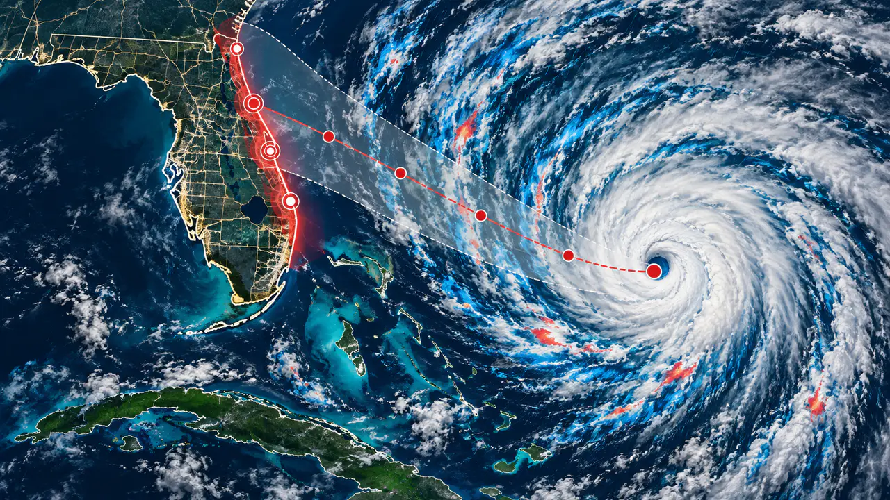
Isaías strengthened from a tropical storm to a Category 1 hurricane during the night of October 7, with sustained winds of 120 kilometers per hour, according to the U.S. National Hurricane Center. The update began a period of heightened attention for the northern Gulf Coast, but every figure describes the system at a particular moment and does not by itself predict where damage will occur.
In an advisory early the next morning, the cyclone's center was northwest of Progreso, Mexico, moving east-northeast. The agency expected further strengthening. That track and intensity were estimates subject to change, so responsible reading requires attention to the advisory time and later revisions.
The NHC upgraded alerts for parts of Mississippi and Florida to a hurricane warning and issued a storm-surge warning for part of the Gulf Coast. Those risks are not interchangeable: wind may cause damage and outages, while water and heavy rain can produce flooding. Designated zones and instructions from local authorities determine appropriate measures.
Later reports show why coverage should not freeze at the first update. On Friday, Isaías was reported as reaching Category 3; early Saturday, another NHC communication described it as post-tropical and recorded later weakening. These are successive moments in its evolution, not figures to be mixed as though simultaneous.
Withdrawal of storm-surge and tropical-storm warnings did not eliminate danger. Saturday's bulletin maintained concern about rain and flooding in Alabama, Florida and Georgia, with forecast totals of 100 to 200 millimeters and locally higher amounts possible. Those were forecasts for the episode, not confirmed measurements in each community.
The forecast also warned of flash and river flooding, possible tornadoes and dangerous surf in parts of the Gulf and western Cuba. High clouds associated with the system were visible from Matanzas, but their presence did not mean the center was near the city. The cited update had no tropical-storm or storm-surge warnings in effect for Cuba.
The practical consequence is that canceling coastal warnings is not a general authorization to relax precautions. Risks from rain, rising water or rip currents can continue after a cyclone loses tropical characteristics. Available information recommends following local guidance; it does not provide a detailed damage inventory or predict how every affected area will evolve.
In an emergency, accuracy depends on timing as much as content: a wind speed without an hour, an outdated warning zone or a rainfall forecast presented as an observation can mislead. It is important to distinguish a watch from a warning, a forecast from a measurement, and weakening from disappearance of danger. For communities, those distinctions can guide concrete protective decisions.
Isaías was the first Atlantic hurricane of 2026 after earlier storms that season had not reached hurricane strength. The fact provides context but neither reduces the threat of a specific cyclone nor predicts the rest of the season. Useful coverage should explain what is known, what changed and what remains uncertain, without turning meteorological evolution into spectacle.