Eastern Cuba under watch
Guantánamo, Santiago de Cuba, Granma, Holguín and Las Tunas face heavy rain with risks of flooding, river rises and landslides.
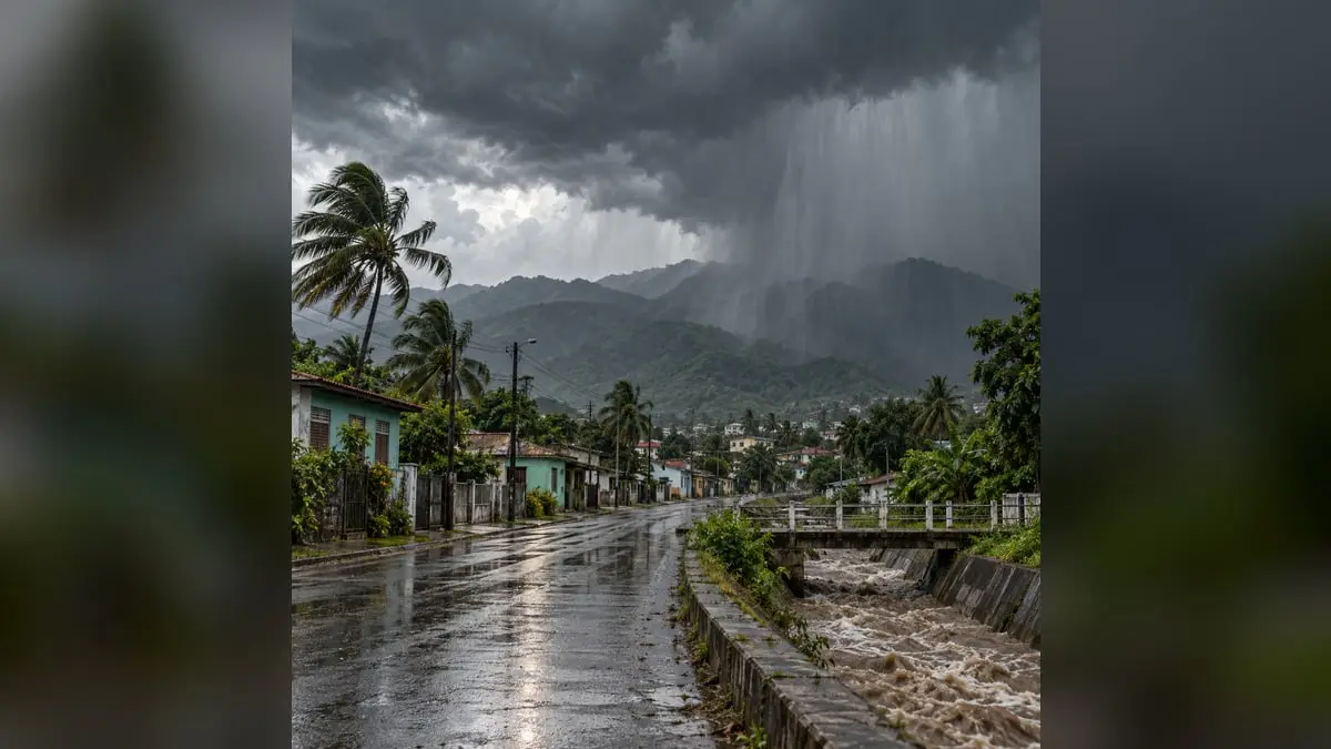
Eastern Cuba entered a period of meteorological watch that should not be treated as ordinary seasonal rain. Forecasts released October 23 indicated possible heavy and locally intense precipitation over the weekend, with risks of flooding, swollen rivers and landslides. Guantánamo drew the greatest attention, although Santiago de Cuba, Granma, Holguín and Las Tunas also needed to monitor conditions.
The situation was associated with a trough approaching the east and interacting with low-pressure areas. A very humid southerly airflow added to that combination, capable of sustaining extensive clouds, showers and thunderstorms. Specialists warned deterioration could continue through Sunday the 25th or early Monday, October 26.
Guantánamo combined several hazards. Provincial Meteorological Center director Carlos Román González said totals could exceed 100 millimeters in some locations, especially along the southern slope. In mountainous terrain, that amount is not distributed evenly: water descends quickly, feeds rivers and streams and may trigger slides on vulnerable slopes.
Saturday appeared to be the day of greatest concern, but a forecast is not a definitive photograph. Some communities could receive far more rain than nearby areas. That inequality requires reporting by municipality and watershed, not just a general provincial bulletin. It also requires updating data without turning every weather model into certainty.
Danger increases when rain falls on weakened infrastructure. Rural roads, bridges, urban drainage and power lines may fail before rainfall reaches extraordinary levels. In areas with outages and unstable communications, isolated communities may take longer to request help or learn of evacuation orders. Vulnerability depends not only on how much it rains but on the conditions in each territory.
Known protective measures remain decisive: do not cross swollen rivers or flooded roads, secure documents and essentials, protect children, older people and the ill, and stay away from areas exposed to lightning. Families near waterways or in low areas need early, clear and repeated guidance, not instructions after water prevents them from leaving.
Local authorities must review shelters, transportation, drinking-water reserves, generators and access routes. Drains and channels should also be cleared where it remains safe. Preparation is not announcing that a watch exists but demonstrating personnel, resources and a communication chain capable of functioning even if electricity fails.
Public information requires the same discipline. Unconfirmed figures for evacuees, damage or emergency phases should not be shared. But caution cannot become an excuse to delay useful warnings. The Meteorology Institute, Civil Defense and provincial media must publish schedules, understandable maps and concrete forecast changes.
A timely alert does not eliminate a storm but can reduce its human cost. In eastern Cuba, where geography accelerates river rises and many communities depend on fragile roads, every hour of warning matters. The watch must now become visible decisions because no forecast can recover time lost after flooding.